P'tit train du nord
  • Explore
  • Activities
  • Info
  • Us
  • Know yourself
  • FR

From Labelle to Val-Morin

Cut yourself some slack

X

Explore

  • Interactive Map
  • Mont-Laurier to La Macaza
  • Labelle to Val-Morin
  • Sainte-adèle to Saint-Jérôme
  • Mirabel to Bois-des-Filion
  • Interactive Map
  • Prepare Your Trip

ACTIVITIES

  • Walk and Run
  • Ride
  • Ski
  • Snowmobile

INFOS

  • Make a donation
  • Welcome center-online Shop
  • FAQ
  • Blog
  • Communiques
  • Events
  • Parking, service stations etc.
  • Rental/Pro-shop

Us

  • About Us
  • The Team
  • Patrol
  • Documentation
  • Press
  • Contact Us

You

  • Know yourself
  • Français
  • Follow
  • Follow
  • Follow

From Labelle To Val-Morin

Cut yourself some slack

58 kilometers  | 8 legs

Labelle | KM 107
La Conception | KM 97
Mont-Tremblant (village) | KM 92
Mont-Tremblant (downtown) | KM 83
Saint-Faustin-Lac-Carré (old fish farm) | KM 75
Saint-Faustin-Lac-Carré (train station) | KM 70
Sainte-Agathe-des-Monts | KM 49
Val-David | KM 42
Val-Morin | KM 39
Sainte-Adèle to Saint-Jérôme

Labelle KM 107

46.2804732 N, -74.7338046525356 O, Altitude: 211 meters

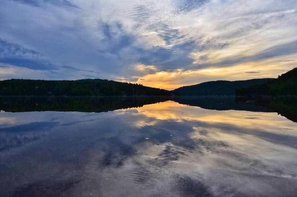
The swirls of the “Italiens” rapids will accompany you to Labelle. You can then cross the Rouge River bridge where a lookout allows for a unique viewpoint on the river and it’s white water sports fans.

Read more ...

The covered bridge of La Macaza, classified as a historic monument can also be seen from that vantage point.

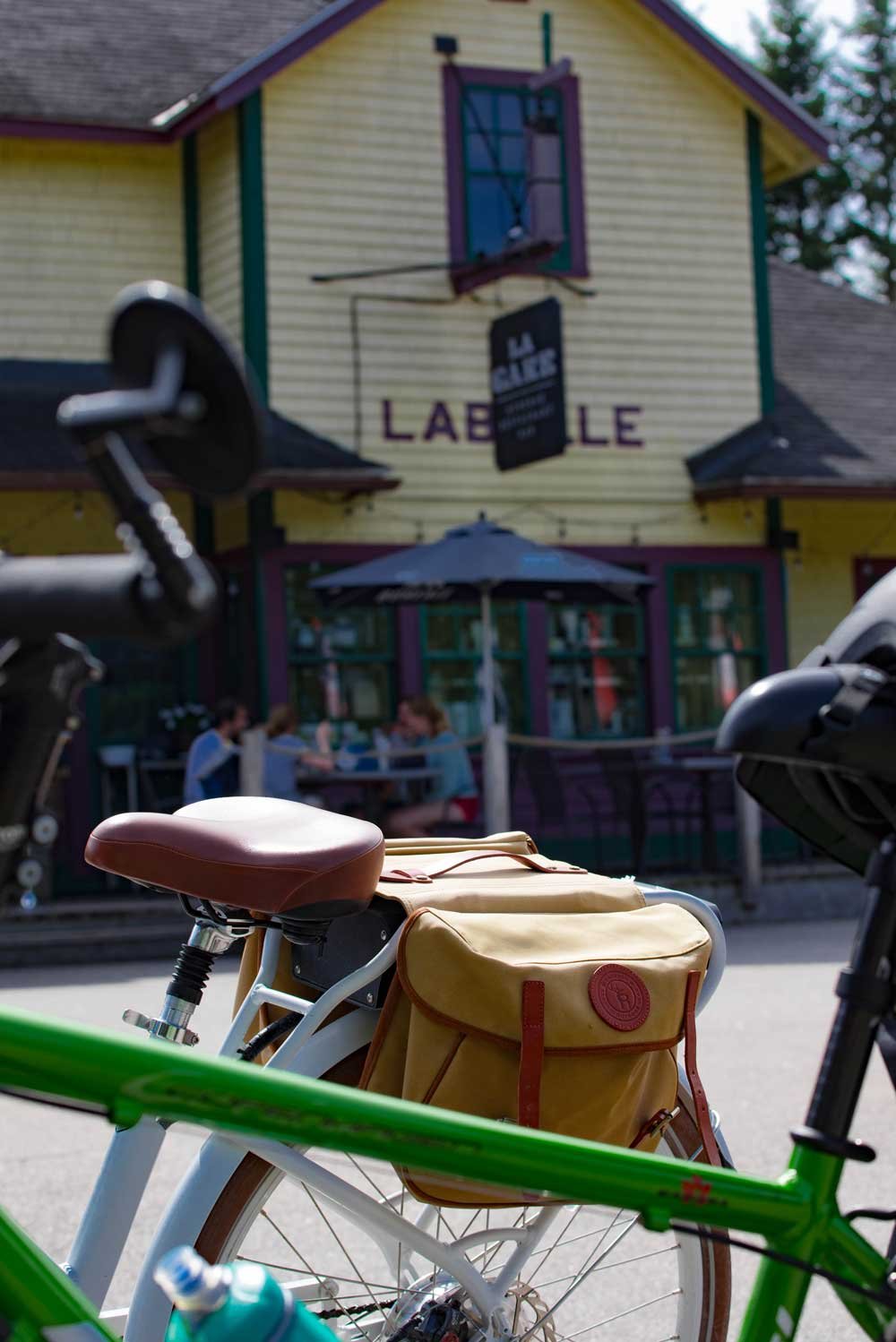
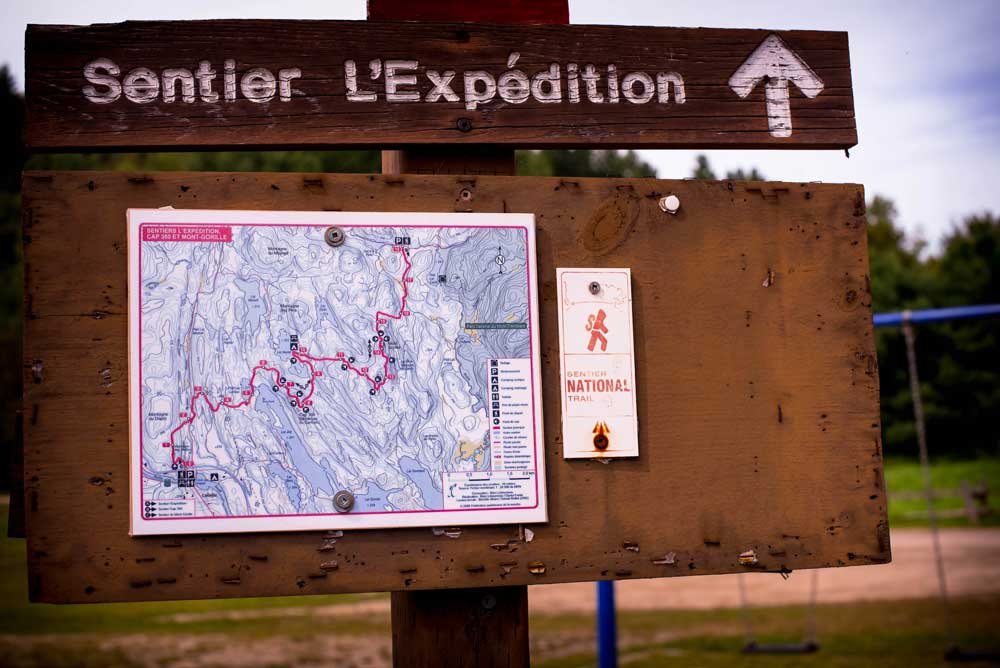
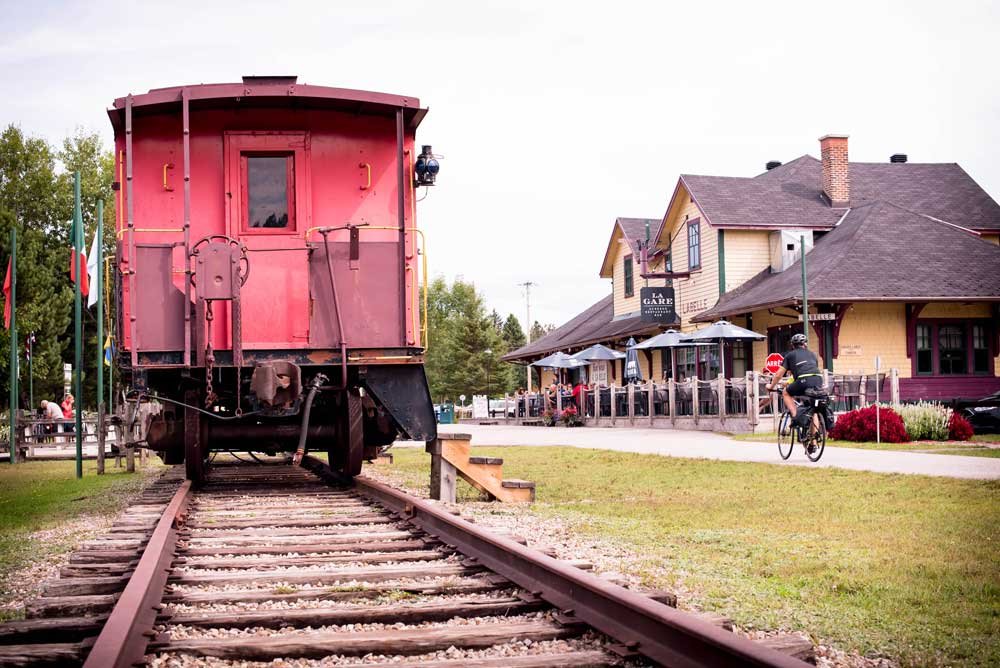
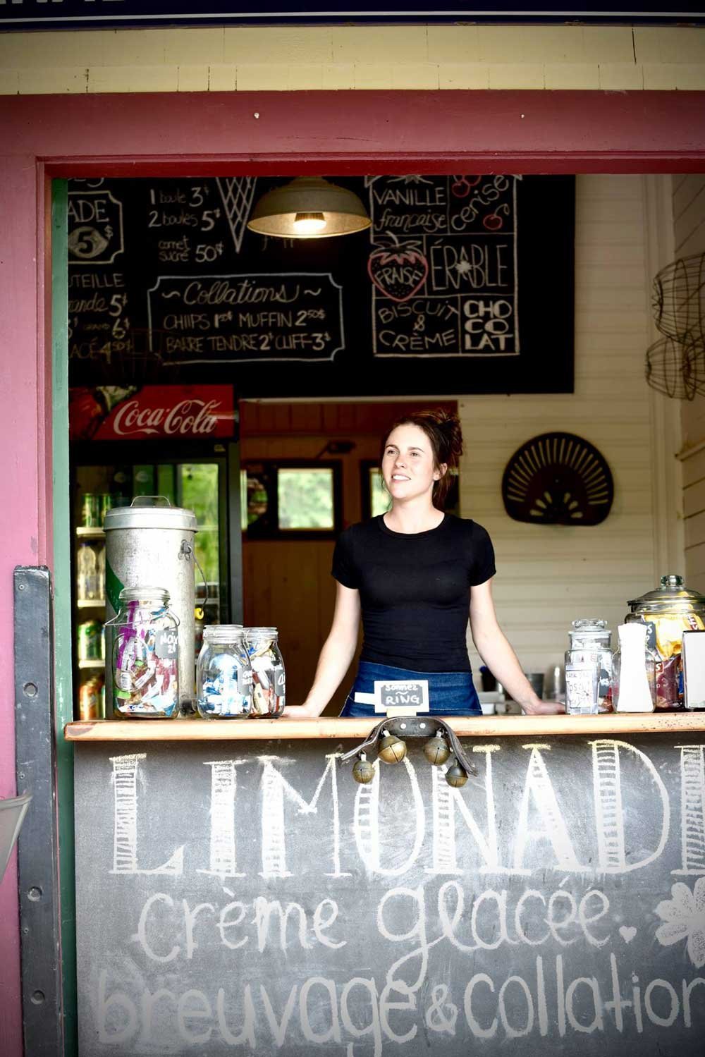
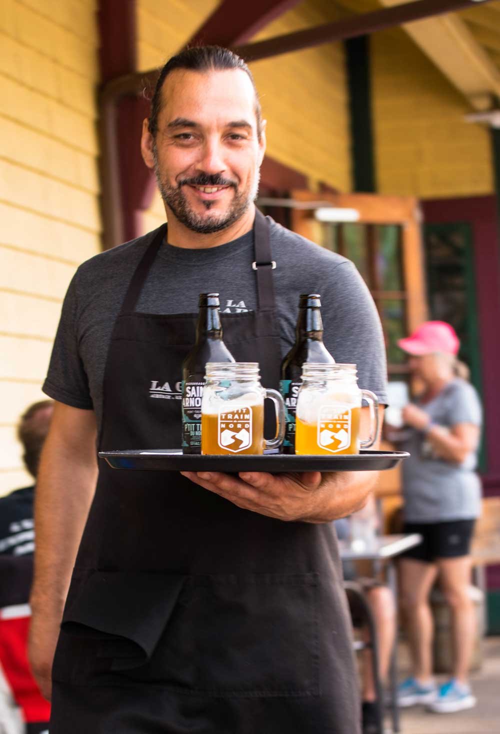
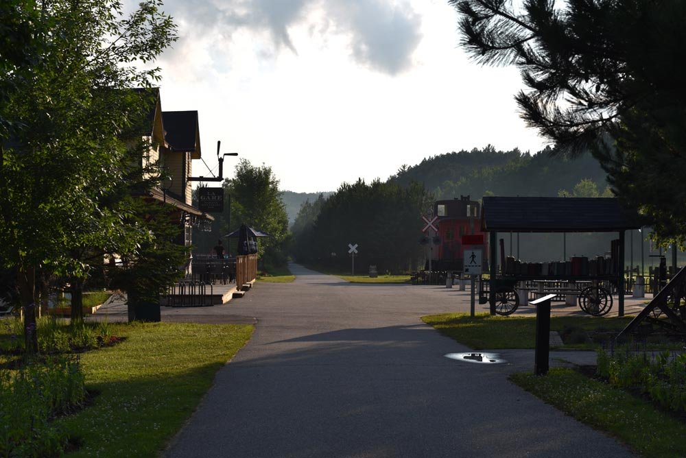
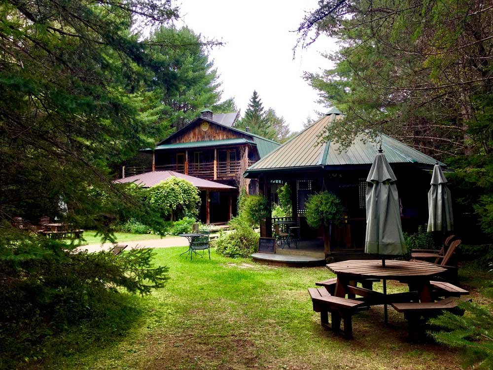
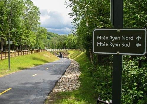
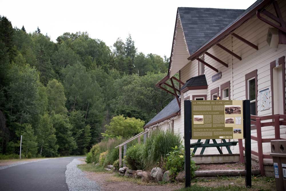
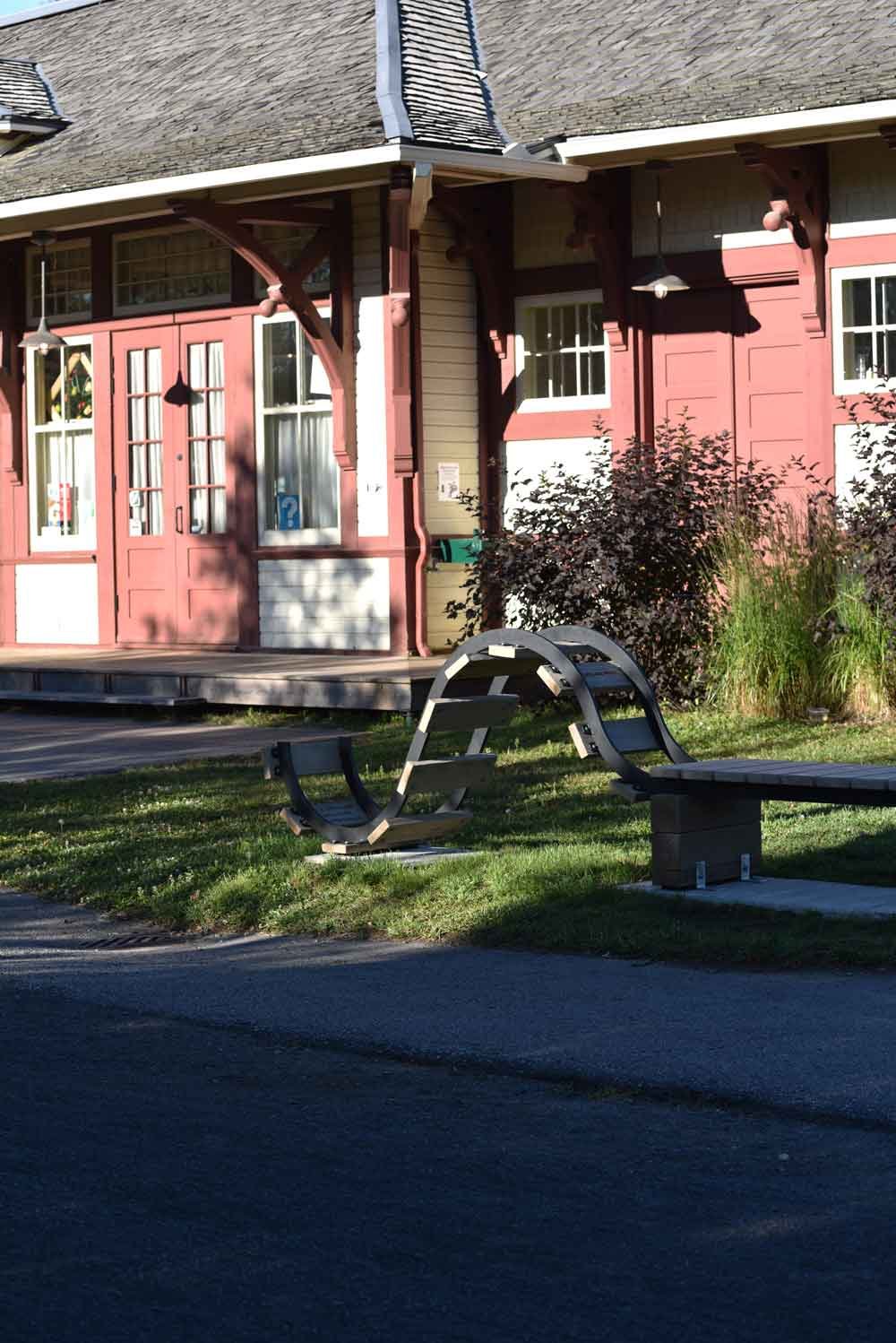
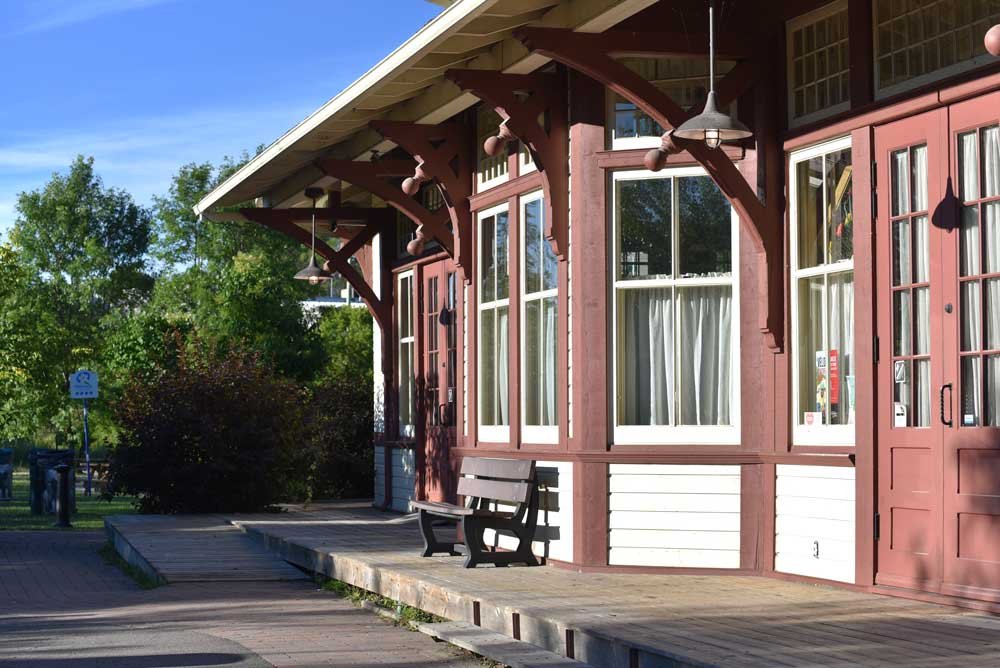
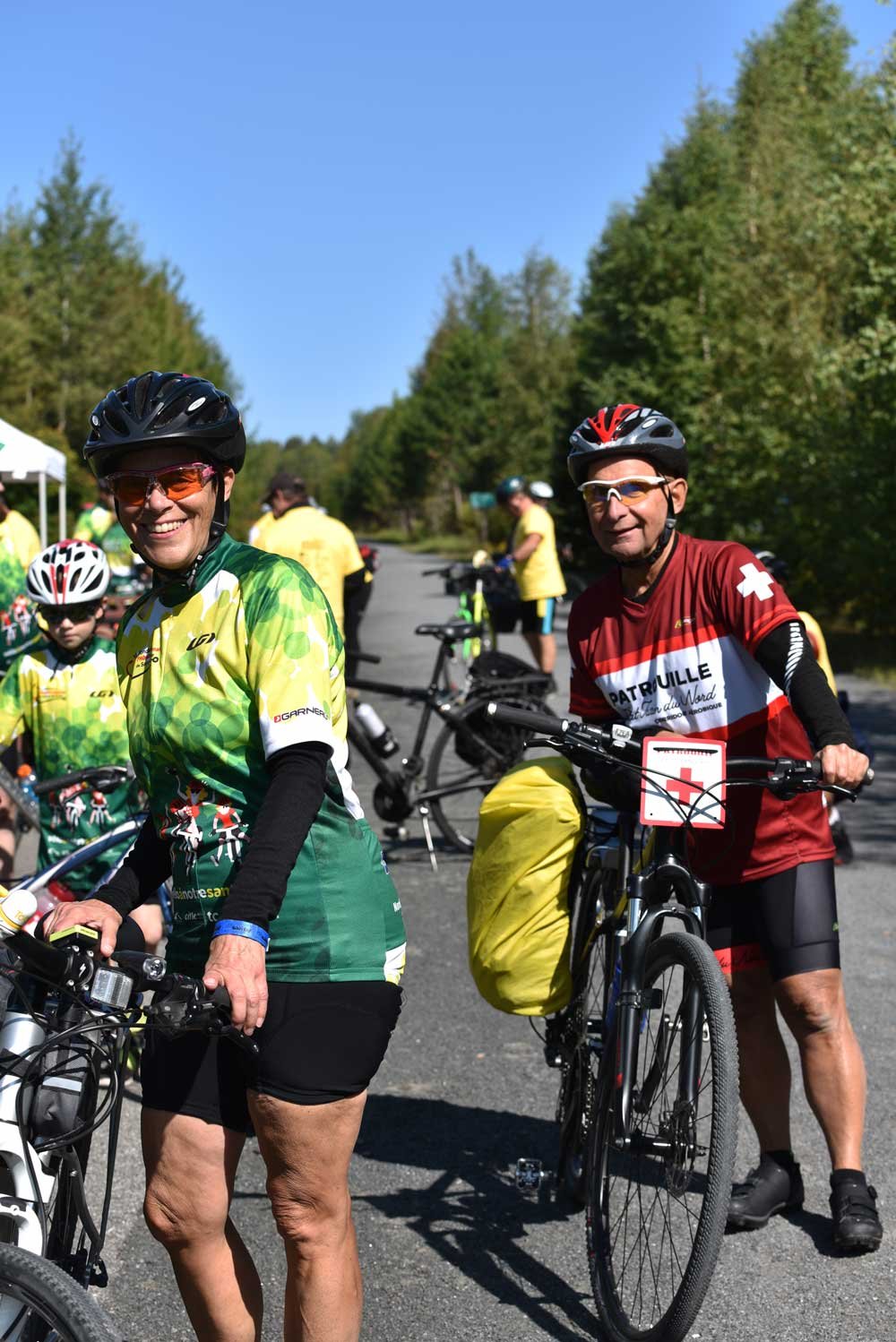
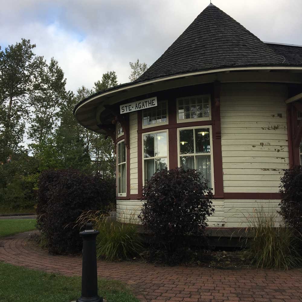
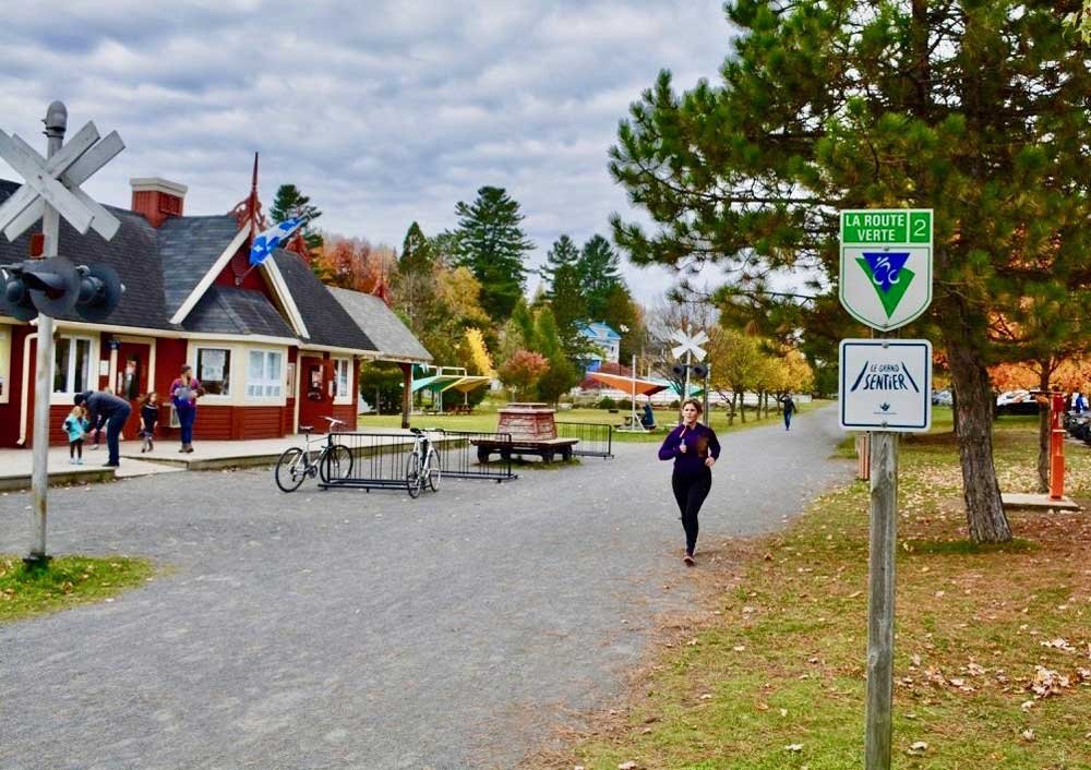
Take five at the Labelle train station situated amongst hills and rivers. It is a meeting ground for all nature lovers and great outdoors fans. It’s also the starting point of many lengthy pedestrian trails. Built in 1924, the Labelle station is one of the most beautiful of it’s kind in Québec. A friendly café, microbrewery beers, a lodge, and railroad museum await.

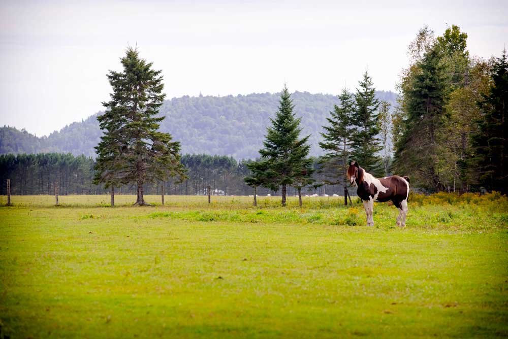
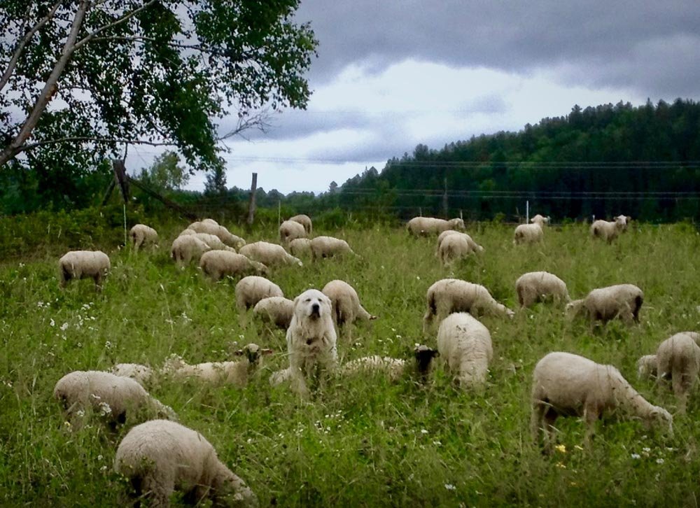
Magnificent livestock can be seen along the pastures at km 103 and 104. Galloway belted cattle, draft horses, lambs, and their sheepdogs.

More info:
Labelle’s website →
Upper Laurentians →

MRC des Laurentides

La conception KM 97

46.153675 N, -74.693298 O, Altitude: 209 meters

Heading towards Mont-Tremblant.

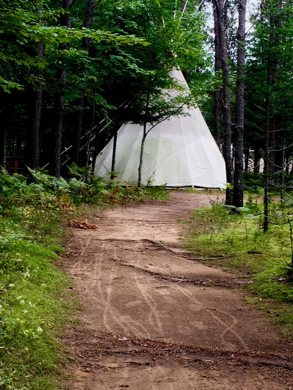
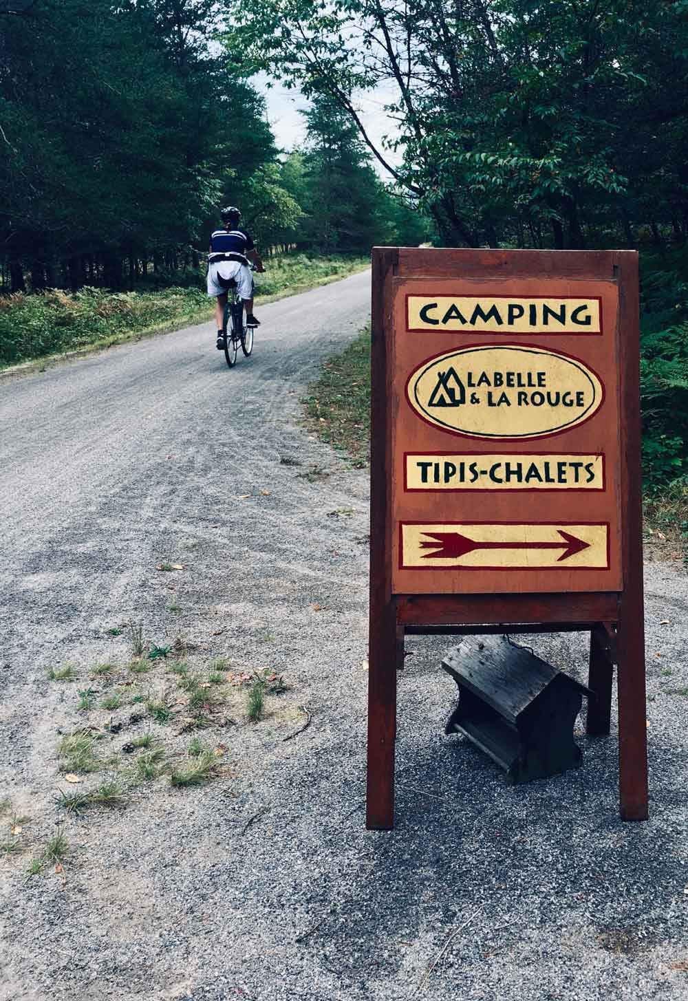
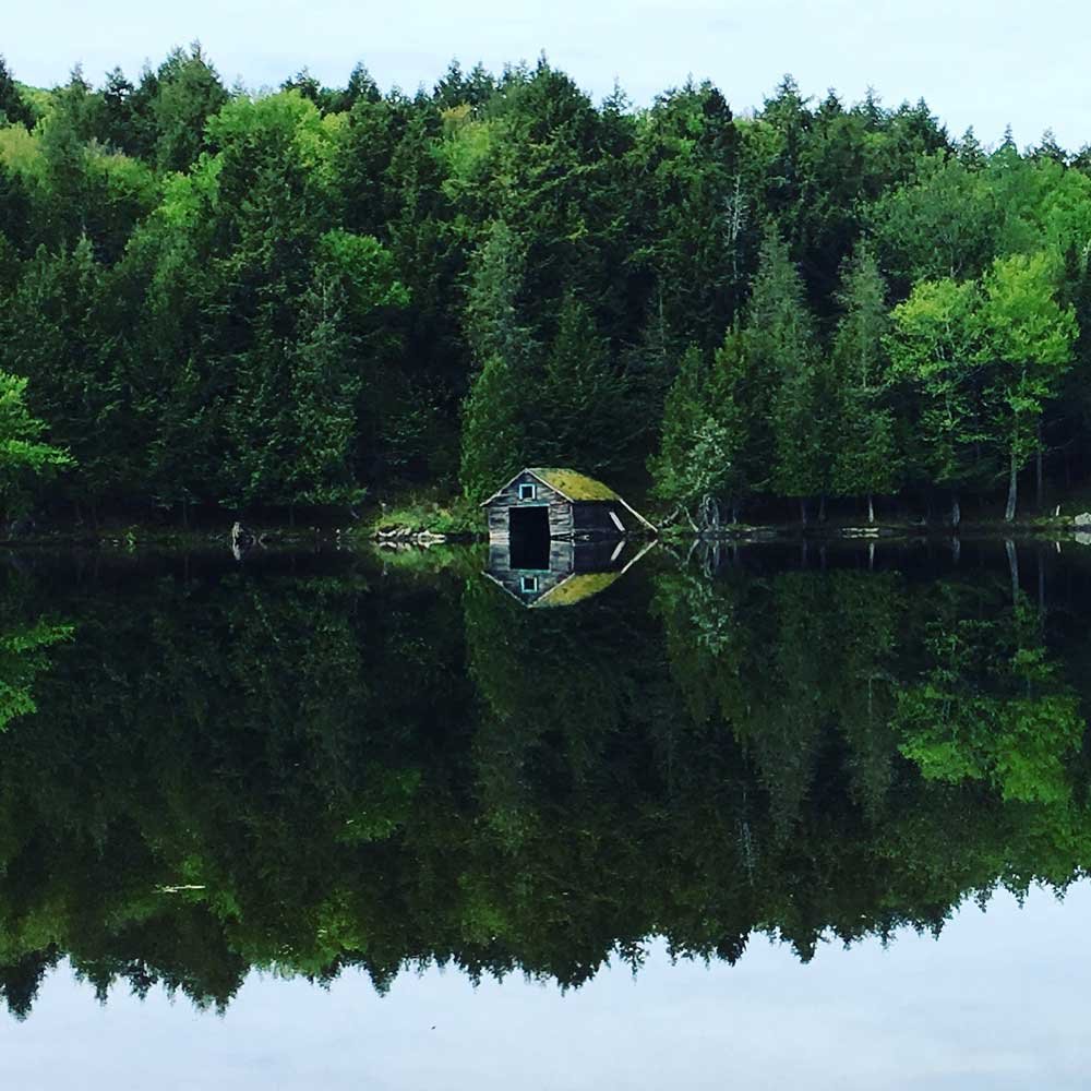
Check out the original accommodations offer along the trail.

More info:
Discover (By MRC Laurentides) →

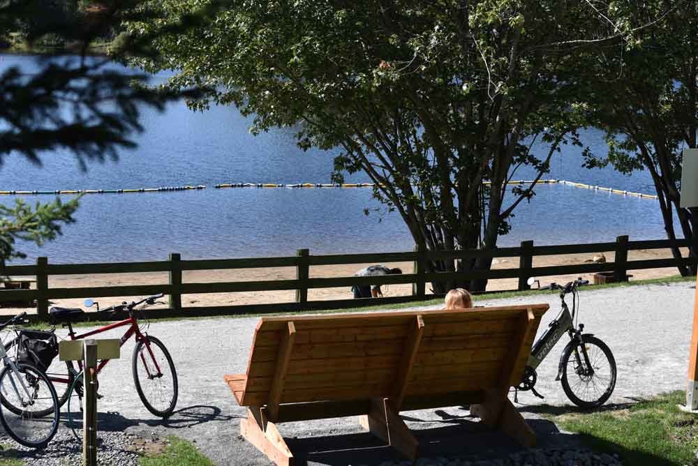
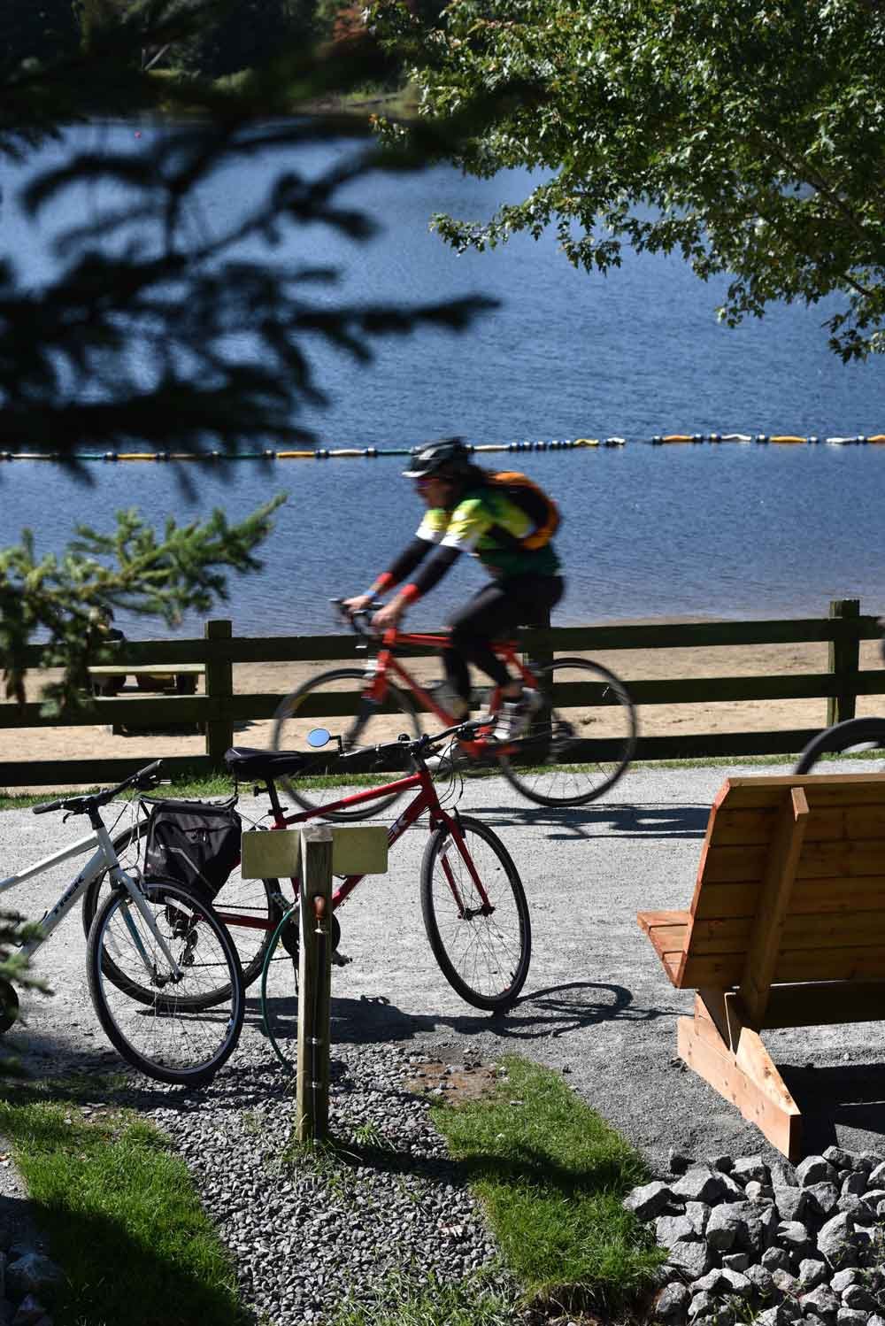
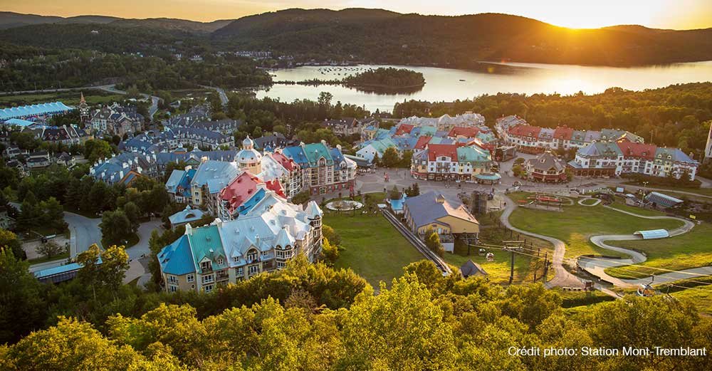
Mont-Tremblant (village) KM 92

46.1947031 N, -74.6305083 O, Altitude: 233 meters

Ride along the Mercier lake and discover the town of Mont-Tremblant also known as “Old Village”.
Take a dip at the Mercier lake beach.
Read more ...
The main street is dotted with cafés, shops, restaurants, pubs, fine groceries, bakeries, deluxe boutiques, and antique stores.
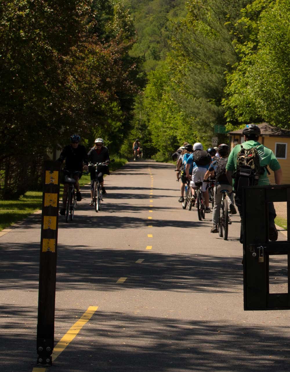
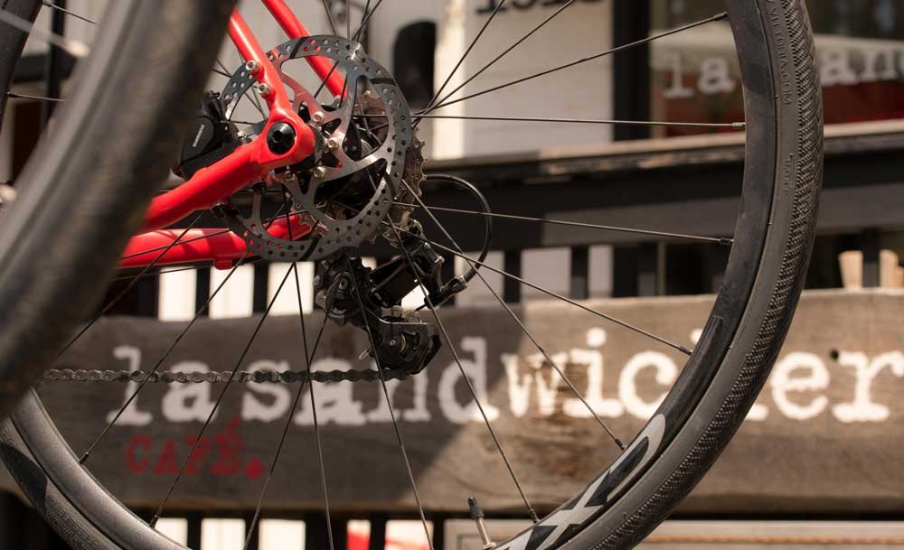
A 3 km cycling path links the P’tit train du Nord with the pedestrian village of the Mont-Tremblant ski resort where an array of activities are offered.
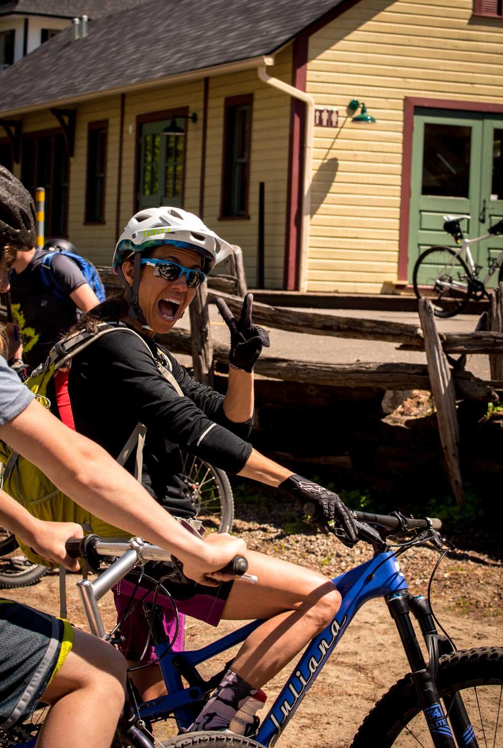
The old village also features the “Place de la gare” where an art gallery holds residence in an exact replica of the original train station.
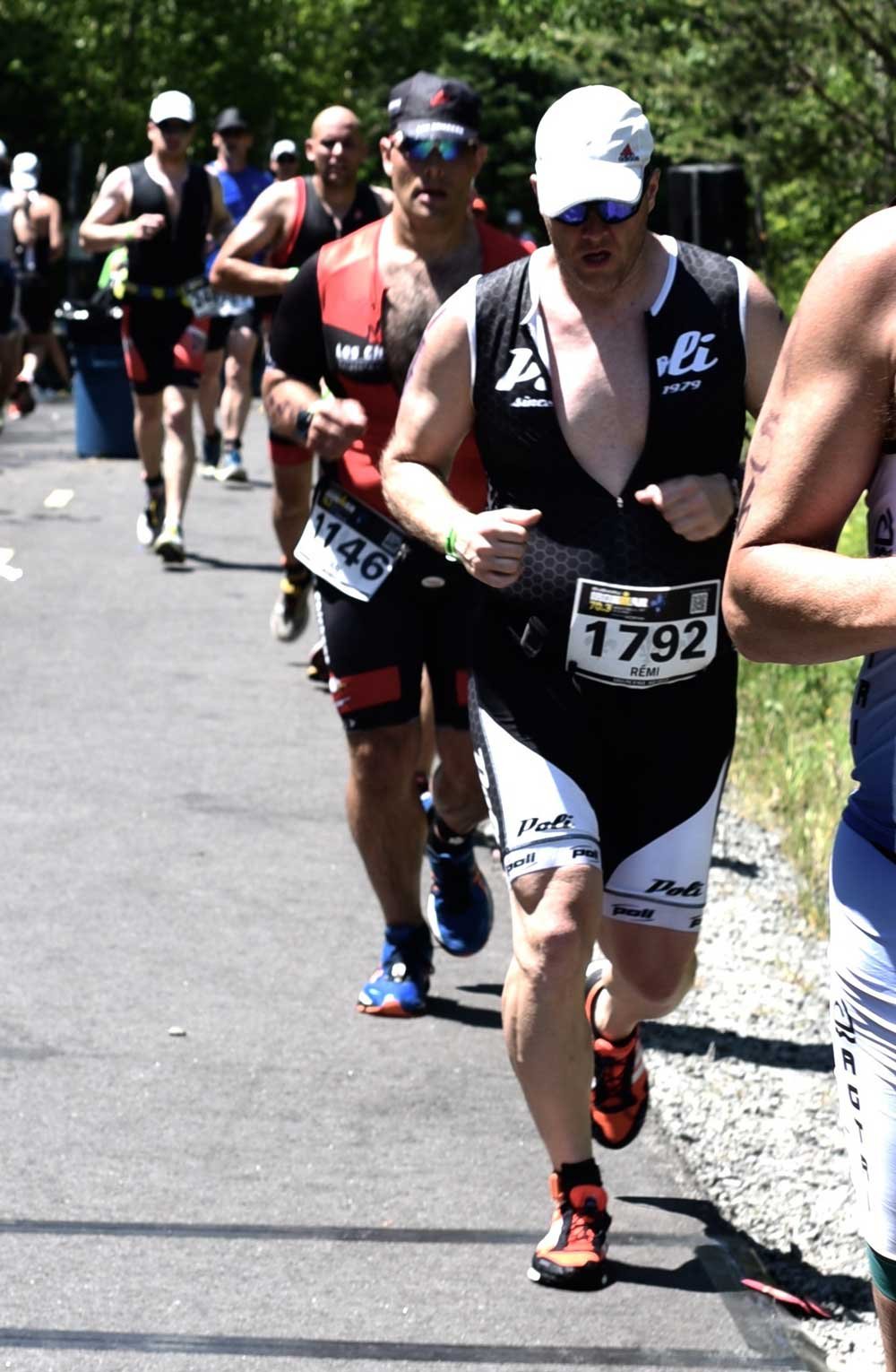
The old village hosts a number of activities ranging from the Ironman triathlon and other cycling events to festivals, farmer’s markets and various cultural happenings.

More info :
Biking in Mont-tremblant →

MRC des Laurentides

Mont-Tremblant (downtown) KM 83

46.11588 N, -74.5891426 O, Altitude: 213 meters

Before entering downtown Mont-Tremblant, you will be trekking along a superb area of golf courses punctuated with bridges and tunnels.
Read more ...
The majestic “Rivière du Diable” is a must-see along the way.
You will find all you need in downtown Mont-Tremblant including boutiques, restaurants, crêperies, and bistros that will delight you.

More info:
Biking in Mont-tremblant →

MRC des Laurentides

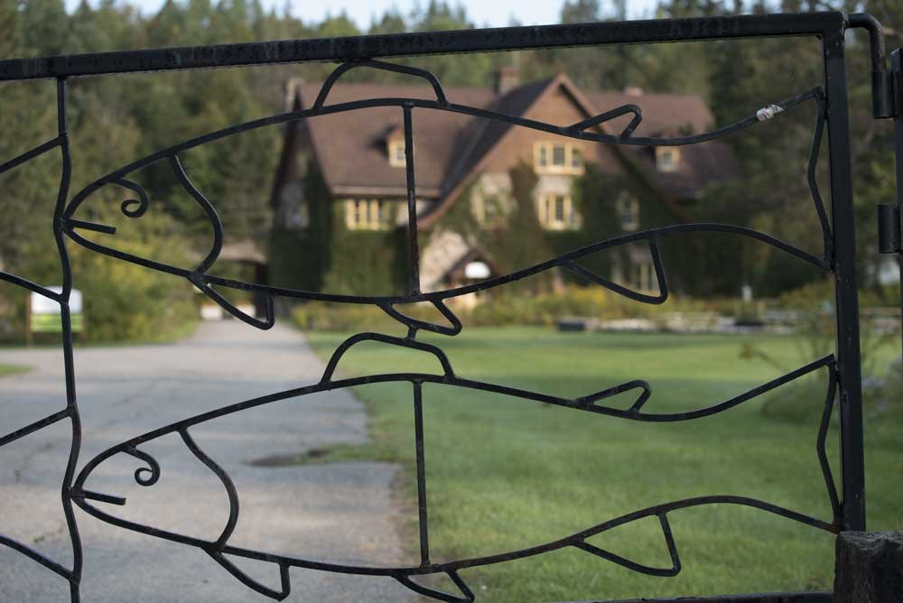
Mont-Blanc (old fish farm) KM 75

46.1137104 N, -74.5050517 O, Altitude: 279 meters

An interpretation trail of 1.8 km amidst restored wetlands.
Read more ...
Go for a hike in the wonderful trails of the fish farm. You can also pause for a picnic or grab a bite at the café-boutique and sample the delicacies of the forest.

MRC des Laurentides

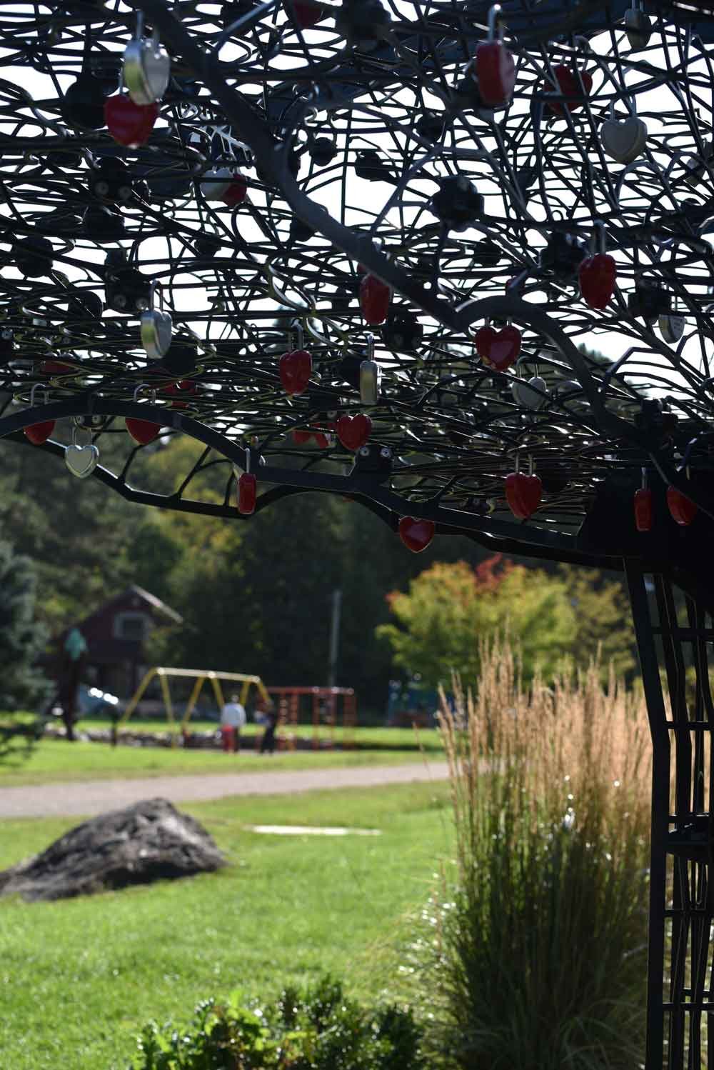
Mont-Blanc (train station) KM 70

46.13002845 N, -74.47177918208963 O, Altitude: 382 meters

Original train station classified a historic monument built in 1893. Rest area for travelers and children playground nearby.
Read more ...
You will also come across the “Tree Of Love”… So time to make a wish!
The station park is home to numerous contemporary sculptures easily seen from the surroundings.
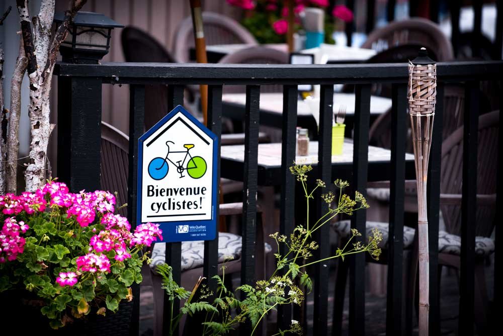
Many “cycle friendly” lodges and restaurants will welcome you.
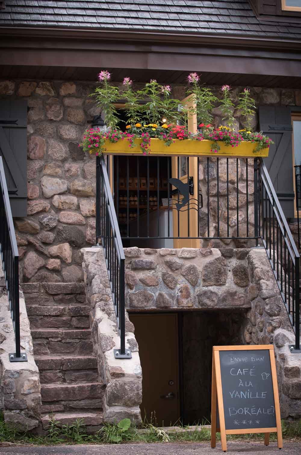
Take the time to revel in the sweet flavors of hop while at the Laurentian Brewing Festival alongside the trail at the end of June.

More info:
Brewery Festival →

MRC des Laurentides

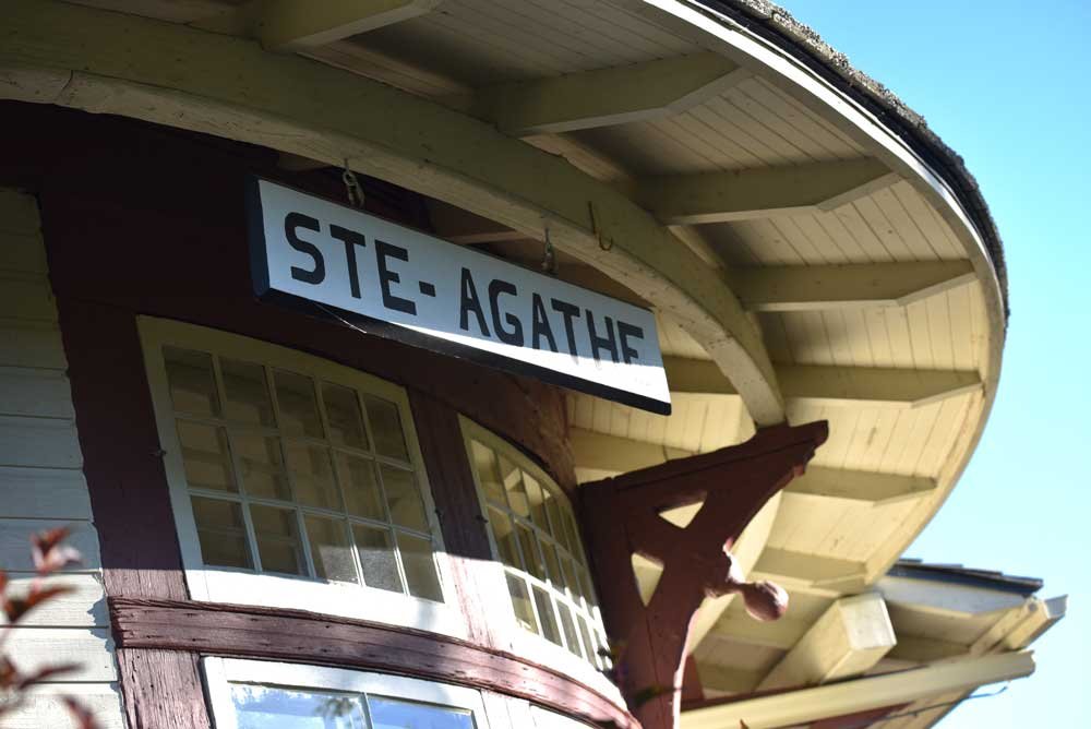
Sainte-Agathe-des-Monts KM 49

46.046072 N, -74.279938 O, Altitude: 376 meters

Take a break at the Sainte-Agathe-des-Monts train station. Built in 1902, burnt down in 2008 and rebuilt for reopening in 2010.
Read more ...
A tourist office provides information on Saint-Agathe and surroundings. A small museum of local history has been open since 2005.

More info:
Sainte-Agathe’s website →

MRC des Laurentides

Val-David KM 42

46.0282815 N, -74.2065632 O, Altitude: 314 meters

The train station is home to a tourist office and traveling exhibitions.
Read more ...
Facing the Rivière du Nord along the Rue de L’Église, lodges, restaurants, gourmet cafés and a microbrewery await to satisfy your appetite.

Artists and craftsmen are ideally located near the trail and so is the famous ceramic and pottery exhibition featured in the summer.

Alongside the Rivière du Nord you will come across the gardens of a traditional herbalist shop where teas and tisanes can be sampled in July and August. Go ahead and visit the gardens!

To enhance your discovery experience you can canoe down the river and cycle back to your starting point.

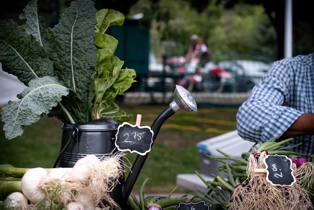
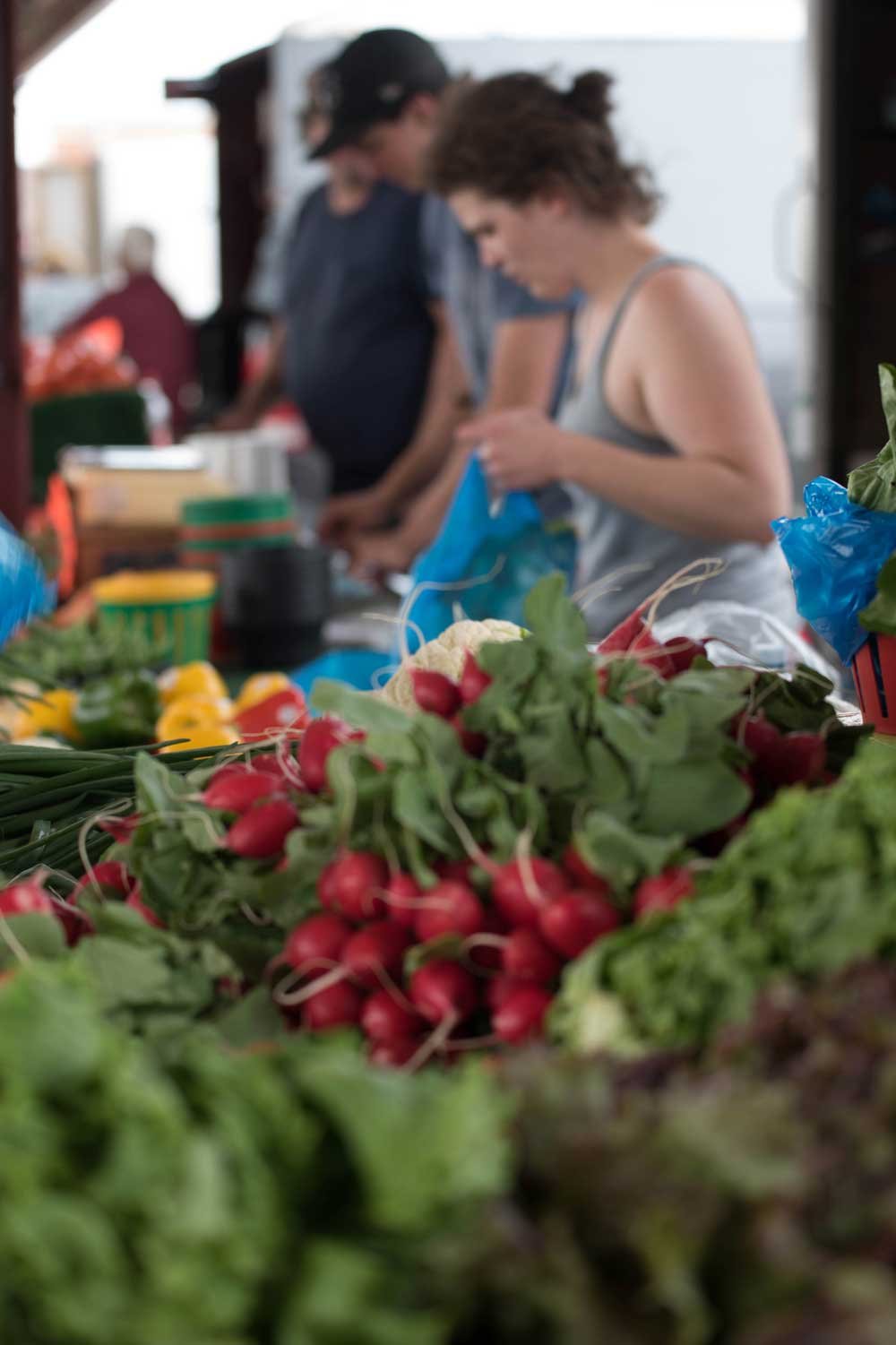
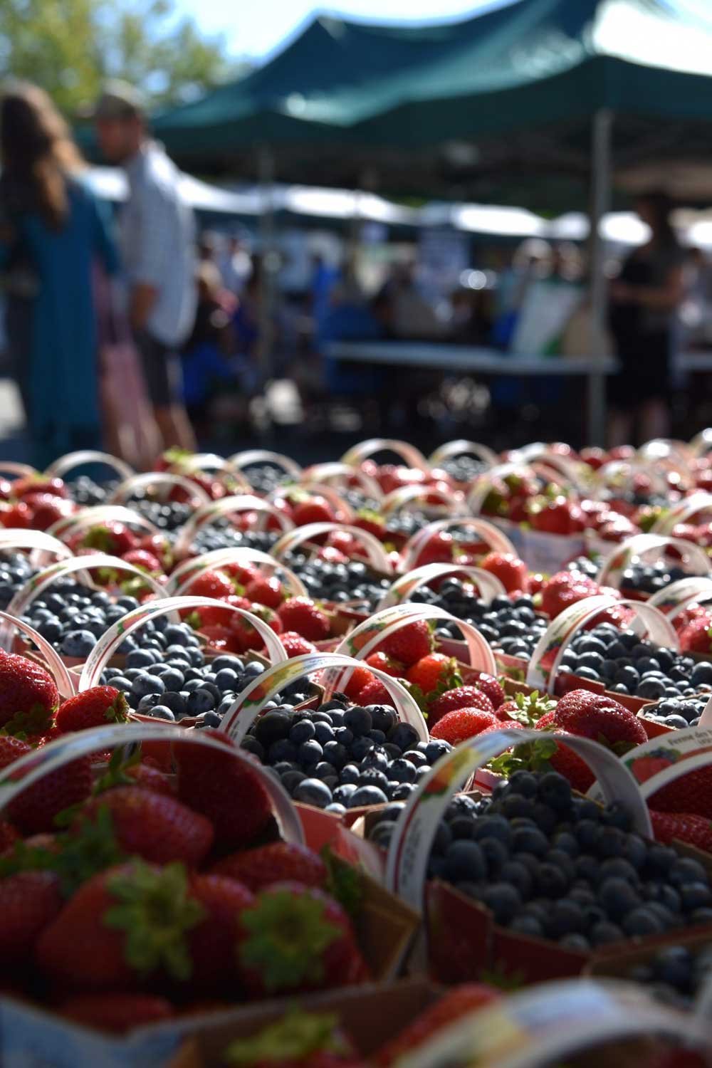
A summer Saturday morning is a perfect time to stroll the public market adjacent to the trail.

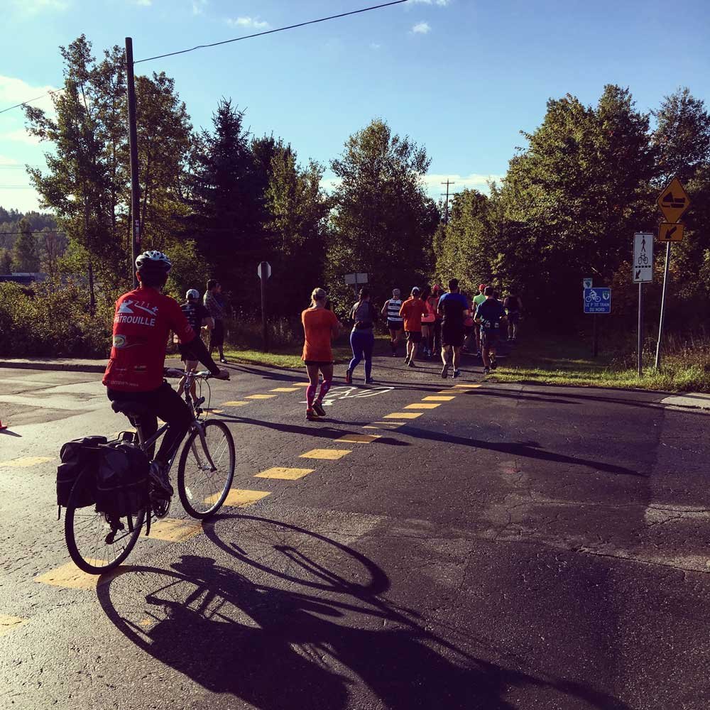
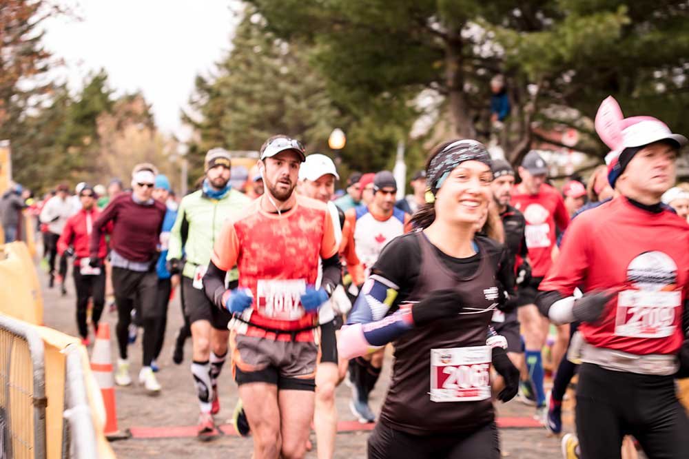
Numerous festivities and sporting events are organized in the train station’s vicinity. It is also the starting point of the P’tit train du Nord marathon.

More info:
Val-David’s website →

MRC des Laurentides

Val-Morin KM 39

46.0069891 N, -74.1877334 O, Altitude: 310 meters

Magnificent Lake Raymond and its beach are preferred recreational areas. The small train station radiates a magical ambiance. Restauration and rest areas are nearby and so is the starting point of the inter-village pedestrian path.
Read more ...
Not challenging enough? Your heart isn’t getting much of a workout on the soft inclines of the P’tit train du Nord? Try the Gilles-Leroux trail, a 1km offshoot of the linear park situated 500m north of the little train station in Val-Morin. This trail links the linear park and downtown Val-Morin near the Marais theatre. Featuring a steep 30m ascent followed by its downhill equivalent.

Downtown Val-Morin features a grocery store, a theatre and an exhibition center.

More info:
Parmontsetvals.com

MRC des Laurentides

From Sainte-Adèle to Saint-Jérome

Follow-Us !

  • Follow
  • Follow
  • Follow
  • Follow
  • Follow

Subscribe !

to our newsletter

Yes !
Q
Close
Q
Close

Le p’tit train du nord

Non-profit organization (NPO)

Information, shop and administration – Prévost Station

1272 Rue de la Traverse, Prévost, QC J0R 1T0

450 745-0185
info@traindunord.com

Hello?

450 745-0185
info@traindunord.com

Privacy Policy →

French →

Route verte P'tit train du nord
© Le p’tit train du nord

Realisation: Tramweb

Explore

  • Home
  • Interactive Map
  • FAQ
  • Contact Us

X

Mont-Laurier to La Macaza

Labelle to Val-Morin

Sainte-adèle to Saint-Jérôme 

Mirabel to Bois-des-Filion

Activities

  • Home
  • Interactive Map
  • FAQ
  • Contact Us

X



WALKING AND RUNNING



RIDING



SKI



SNOWMOBILE

INFOS

  • Home
  • Interactive Map
  • FAQ
  • Contact Us

X

participate

  • Make a donation
  • Shop
  • Home – Boutique P’tit Train du Nord
  • Eco-friendly

INFORM YOURSELF

  • FAQ
  • Communiques
  • Blog
  • Events

OTHER

  • Parkings
  • Code of ethics
  • Rental – Workshop service

US

  • Home
  • Interactive Map
  • FAQ
  • Contact Us

X

About US

  • About Us
  • Contact Us

TEAM

  • The Team
  • Patrol

OTHER

  • Documentation
  • Press
Q

Trail conditions

𝗧𝗥𝗔𝗜𝗟 𝗜𝗡𝗙𝗢

May 9, 2025

‼️ Update – Be careful at km 102, the track is narrower due to the presence of safety barriers. Slow down and give way alternately.


🎉 With the arrival of warmer weather ☀️, we’re excited to announce the opening of a new 75 km section of the linear park, from Val-Morin (km 36) to Labelle (km 112) 😍
🚴‍♀️🌲 It’s now official: the section between Lac Mercier and Labelle, freshly paved at the end of last season, is ready to welcome you! A beautiful stretch of trail awaits you for your spring rides.

🙏 A huge thank-you to the MRC des Laurentides team for making this project a reality!

📍 OPEN SECTIONS:
✅ KM 14 to KM 34 South (Prévost to Bois-des-Filion)
✅ KM 36 to KM 112 (Val-Morin Station to Labelle Station)

⚠️ CLOSED SECTIONS:
🚧 KM 15 (Prévost) to KM 35.8 (Val-Morin): granular reloading work – heavy machinery on site
🚧 KM 112 (Labelle) to KM 201 (Mont-Laurier): cleaning, inspection, and tree trimming in progress – persistent ice patches

👀 Stay tuned for upcoming trail openings!

💡 Before heading out, check our code of ethics to ensure a safe and respectful experience on the trail:
👉 https://ptittraindunord.com/code-dethique/

🙏 Thank you for your cooperation and attentiveness. Let’s make every outing a great experience—together!


May is Bike Month!
Join the community, pedal for your health, for the environment, and to strengthen cycling culture!
Sign up and take part in the challenge now:

Would you like to sign up and take part in the May Bike Challenge with Vélo Québec?
Join the P’tit Train du Nord community and help position this major cycling route as a regional leader in active mobility!
Whether it’s to get to work, school, the grocery shop or just for fun, every pedal stroke counts!
The objective is simple: pedal throughout the month of May.
It’s a practical, fun and accessible way to look after your health, protect the environment and strengthen cycling culture in Quebec.
By taking part, you could win one of many prizes! All you have to do is pedal for at least 10 minutes between 1 and 31 May.

☀️ The weather forecast is favourable

Close this window
infolettre