P'tit train du nord
  • Explore
  • Activities
  • Info
  • Us
  • Know yourself
  • FR

From Mirabel to Bois-des-Filion

Try… the great outdoors


X

Explore

  • Interactive Map
  • Mont-Laurier to La Macaza
  • Labelle to Val-Morin
  • Sainte-adèle to Saint-Jérôme
  • Mirabel to Bois-des-Filion
  • Interactive Map
  • Prepare Your Trip

ACTIVITIES

  • Walk and Run
  • Ride
  • Ski
  • Snowmobile

INFOS

  • Make a donation
  • Welcome center-online Shop
  • FAQ
  • Blog
  • Communiques
  • Events
  • Parking, service stations etc.
  • Rental/Pro-shop

Us

  • About Us
  • The Team
  • Patrol
  • Documentation
  • Press
  • Contact Us

You

  • Know yourself
  • Français
  • Follow
  • Follow
  • Follow

From Mirabel to Bois-des-filion

Try… the great outdoors

 
22 kilometers | 3 legs

Mirabel | KM 10 (south)
Blainville | KM 17 (south)
Bois-des-Filion | KM 32 (south)
From Sainte-Adèle to Saint-Jérôme

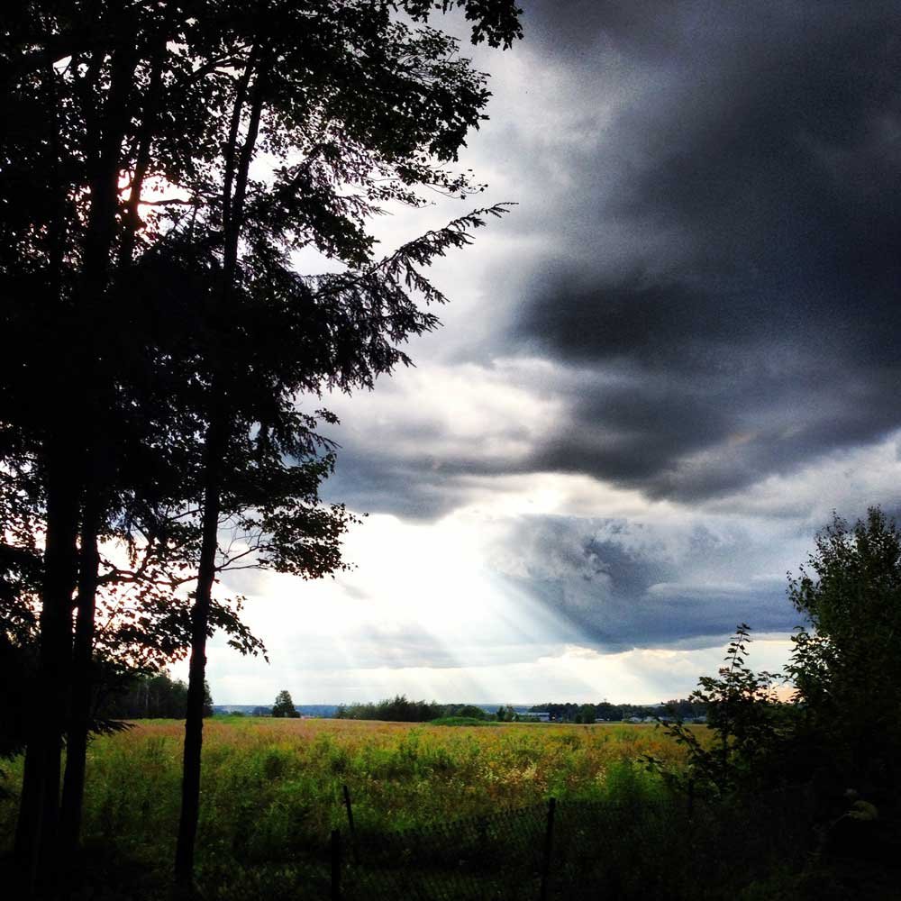
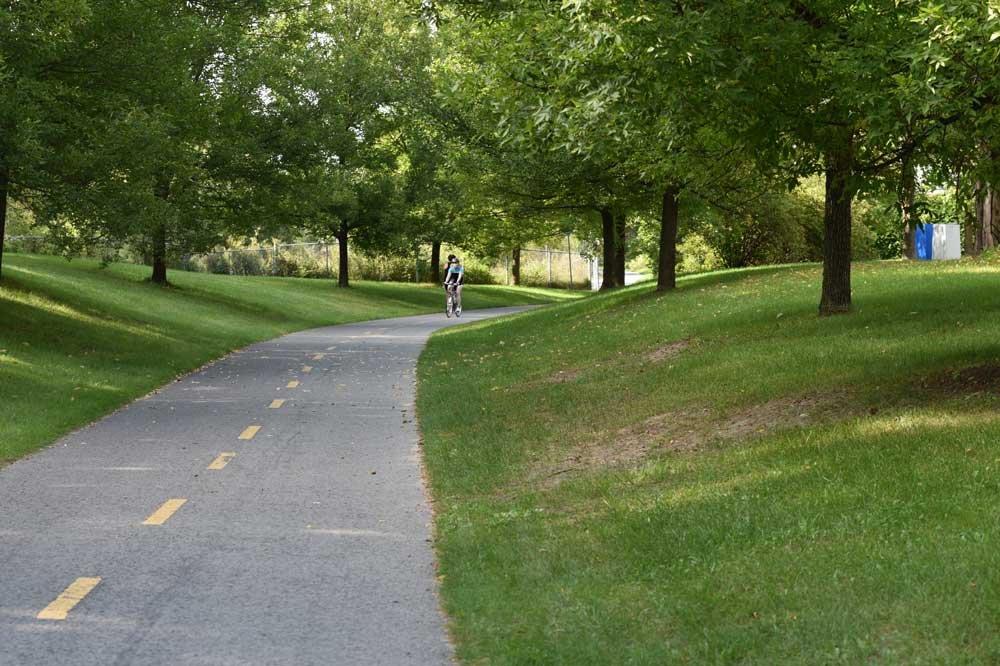
Mirabel KM 10 (south)

45.623402 N, -74.012489 O, Altitude: 53 meters

Field after field, nice straight lines await. Experience the bucolic landscape of corn and vegetable fields.
Read more ...
If you know where to look you will find a benevolent Inukshuk.

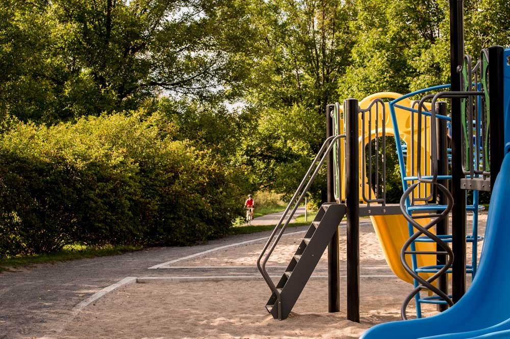
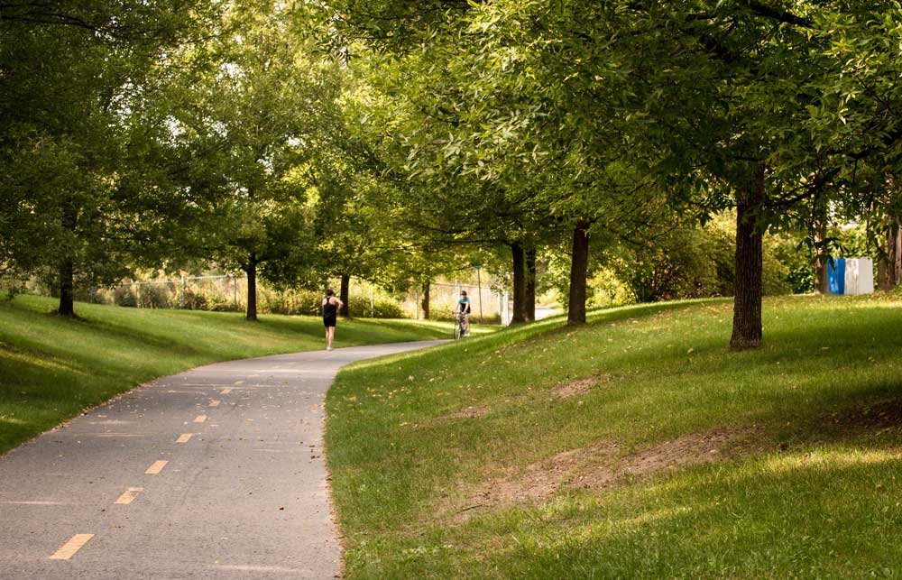
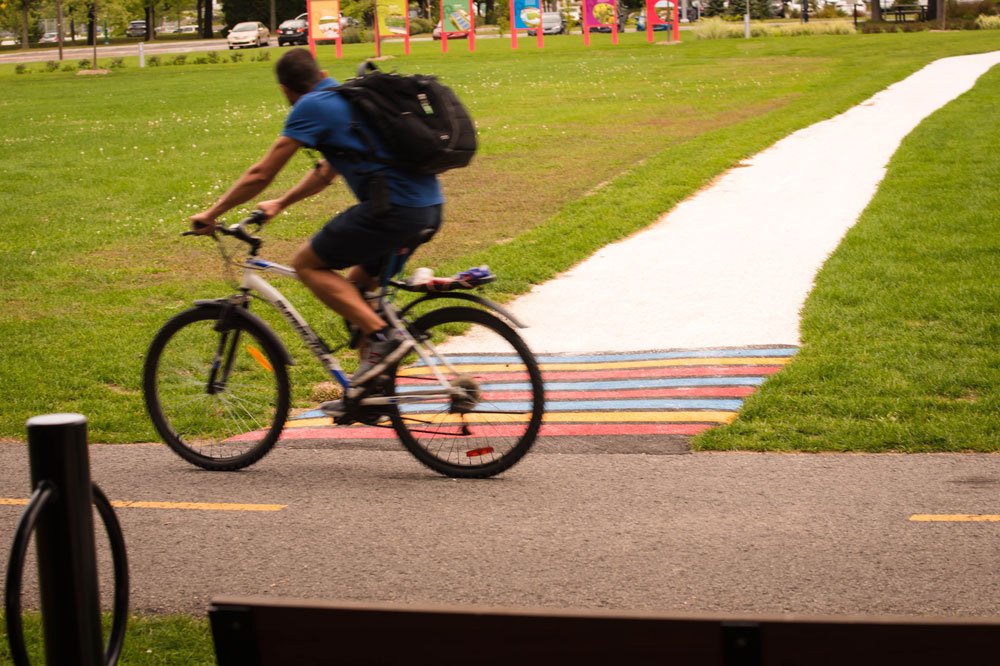
Many users practice rollerblading or jogging. And younger biking apprentices come to gain experience.

You can then appreciate how fabulous the skies turn above the prairies.

More info :
Basseslaurentides.com →
Laurentides.com  →
Quebecoriginal.com →

Ville de Mirabel

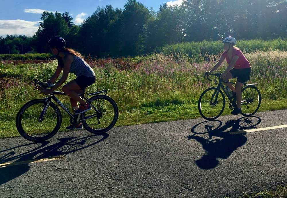
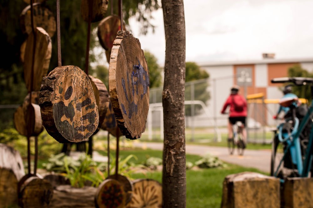
Blainville KM 17 (south)

45.67932 N, -73.87619 O, Altitude: 68 meters

Along this section, you will come across numerous parks and rest areas with nice amenities. The P’tit Train du Nord crosses local cycling trails which ensures easy access to our network.
Read more ...
Keep an eye on the urban art surrounding the trail. Sculptures, photos, exhibition trails, and pavement art will enchant you.

Nearby stands the superb LEED certified Paul-Mercier library recipient of many awards for its architectural design. Situated on the Chemin Plan-Bouchard its sight commands a visit.

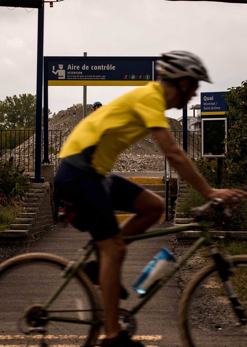
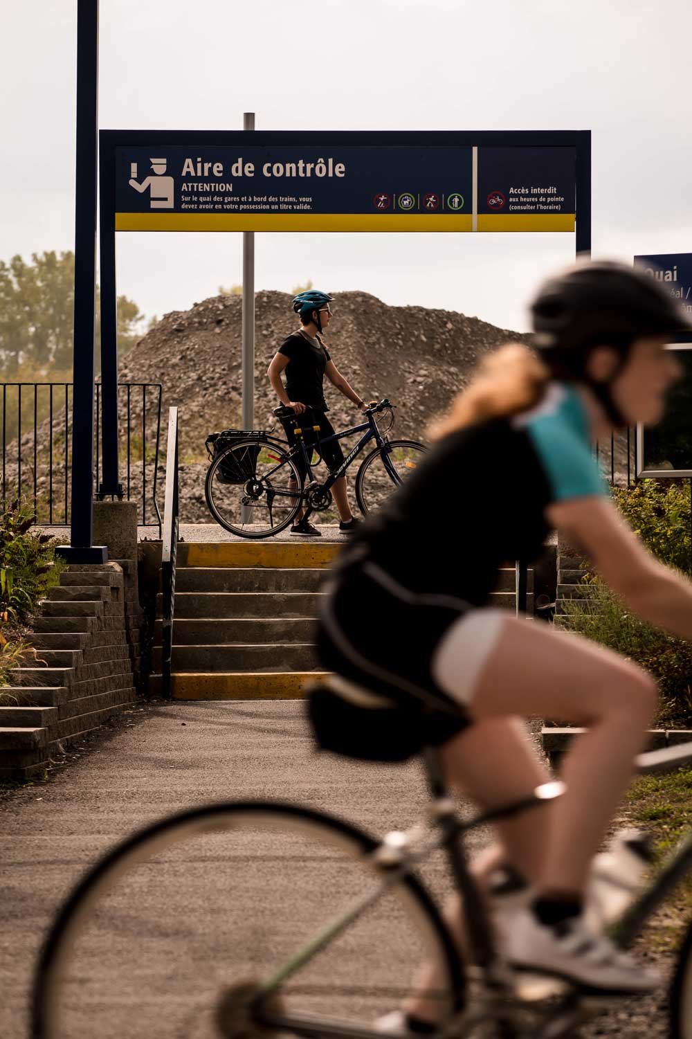
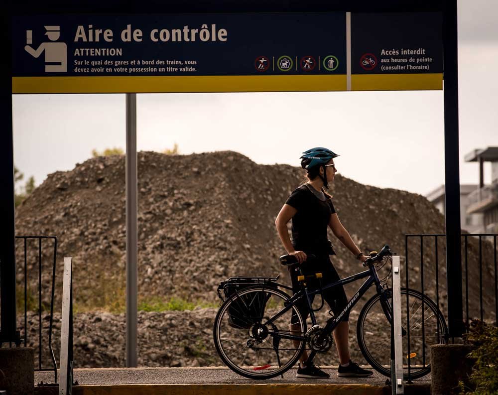
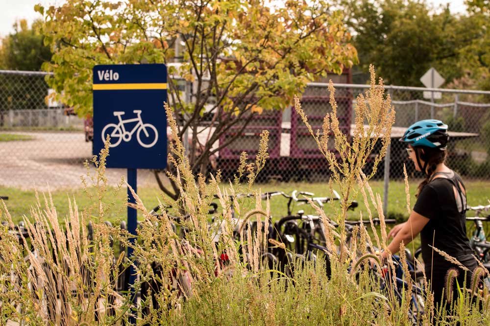
Passenger trains from either Montreal or Sain-Jérôme make a stop in Blainville a few steps away from the P’tit train du Nord. The commuter train station platform of Blainville caters to amateurs of active transportation.

More info :
Site web de Blainville →
Basselaurentides.com →
Laurentides.com →
Quebecoriginal.com →
Exo.quebec →

MRC Thérèse-de-Blainville

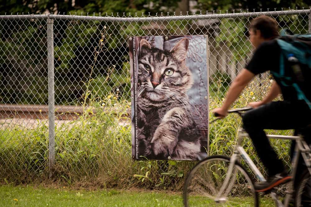
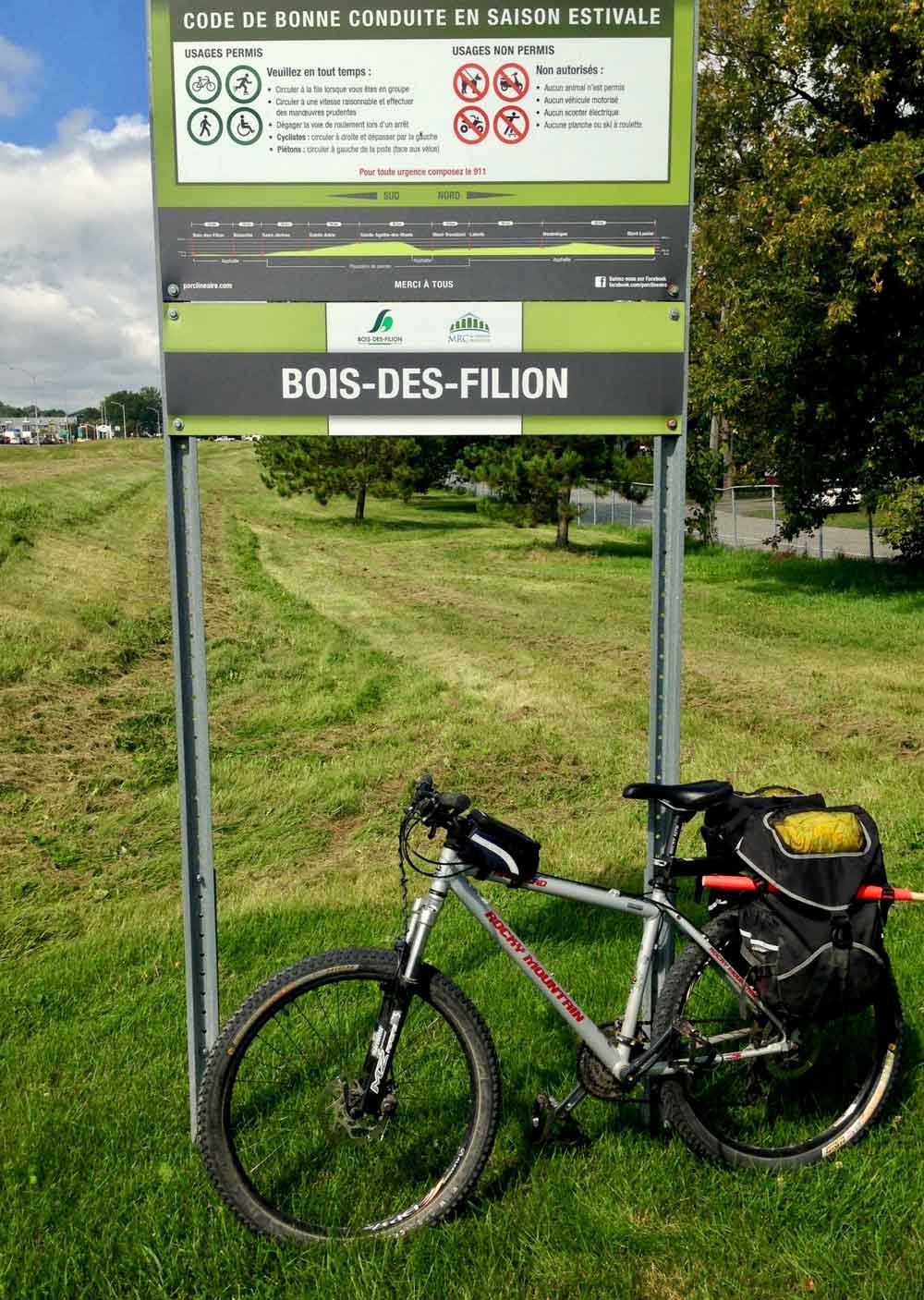
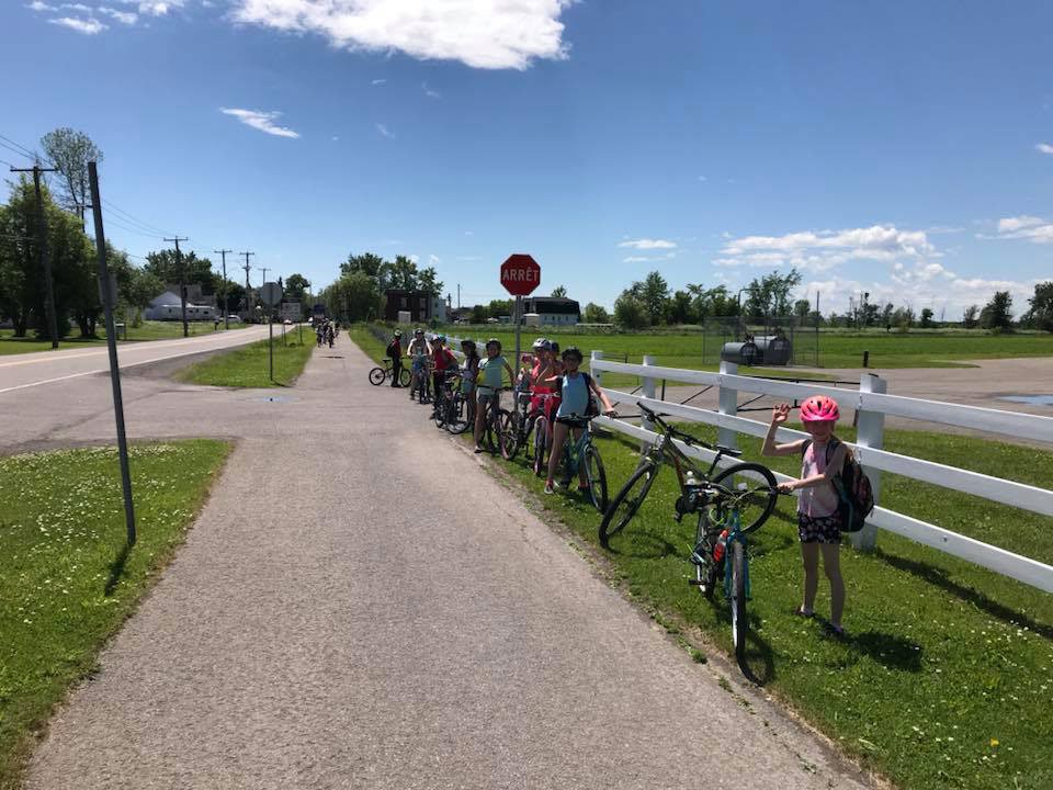
Bois-des-filion KM 32 (south)

45.6713243 N, -73.7562419 O, Altitude: 28 meters

Here lies the most southerly sector of the P’tit Train du Nord linear park next to the large cities of Laval and Montreal.
Read more ...
It’s also a section of the Route Verte 2 and of the Great Trail (Trans Canada Trail). The Route Verte is a cycling itinerary of more than 5 300 km situated in Québec whereas the Great Trail spans over 24 000 km all across Canada. The P’tit Train du Nord is a section of these two great outdoors routes. You will see identification panels of these two partners from Bois-des-Filion all the way to Mont-Laurier. At every kilometer, kilometric markers to the P’tit Train du Nord logo will situate your location along the way.

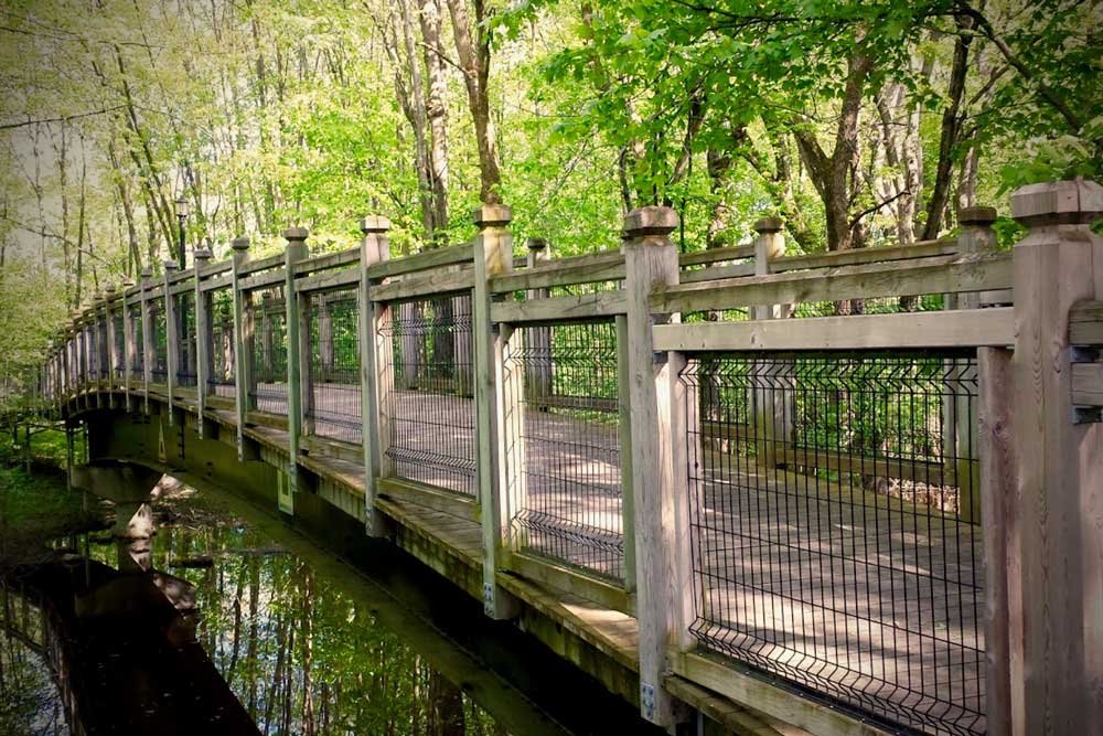
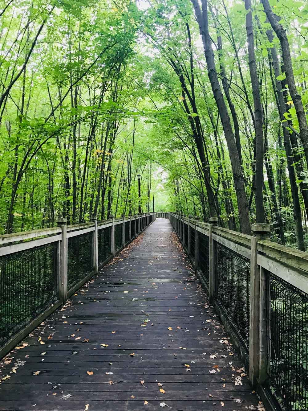
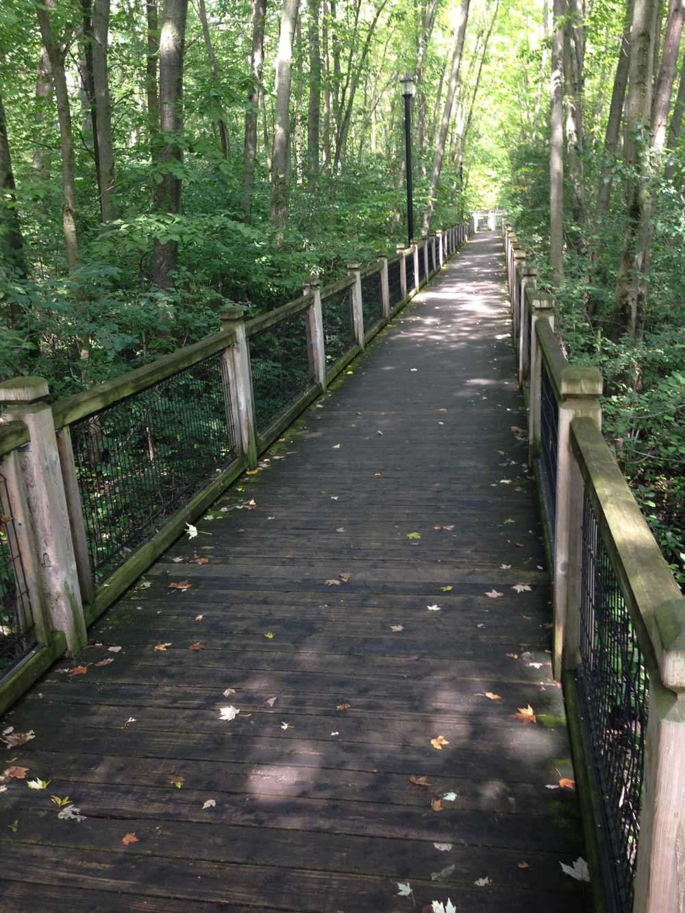
You will realize that Bois-des-Filion is a more urban zone with landscaped trail but you will nonetheless ride through relaxing green areas.

You will be enchanted by the Parc Riverain du Domaine Garth with its fitted walkways overlooking the Rivière aux Chiens.

More info :
Basseslaurentides.com →
Laurentides.com →
Quebecoriginal.com →
Carto.routeverte.com →
Thegreattrail.ca →

MRC Thérèse-de-Blainville

From Sainte-Adèle to Saint-Jérome

Follow-Us !

  • Follow
  • Follow
  • Follow
  • Follow
  • Follow

Subscribe !

to our newsletter

Yes !
Q
Close
Q
Close

Le p’tit train du nord

Non-profit organization (NPO)

Information, shop and administration – Prévost Station

1272 Rue de la Traverse, Prévost, QC J0R 1T0

450 745-0185
info@traindunord.com

Hello?

450 745-0185
info@traindunord.com

Privacy Policy →

French →

Route verte P'tit train du nord
© Le p’tit train du nord

Realisation: Tramweb

Explore

  • Home
  • Interactive Map
  • FAQ
  • Contact Us

X

Mont-Laurier to La Macaza

Labelle to Val-Morin

Sainte-adèle to Saint-Jérôme 

Mirabel to Bois-des-Filion

Activities

  • Home
  • Interactive Map
  • FAQ
  • Contact Us

X



WALKING AND RUNNING



RIDING



SKI



SNOWMOBILE

INFOS

  • Home
  • Interactive Map
  • FAQ
  • Contact Us

X

participate

  • Make a donation
  • Shop
  • Home – Boutique P’tit Train du Nord
  • Eco-friendly

INFORM YOURSELF

  • FAQ
  • Communiques
  • Blog
  • Events

OTHER

  • Parkings
  • Code of ethics
  • Rental – Workshop service

US

  • Home
  • Interactive Map
  • FAQ
  • Contact Us

X

About US

  • About Us
  • Contact Us

TEAM

  • The Team
  • Patrol

OTHER

  • Documentation
  • Press
Q

Trail conditions

𝗧𝗥𝗔𝗜𝗟 𝗜𝗡𝗙𝗢

May 9, 2025

‼️ Update – Be careful at km 102, the track is narrower due to the presence of safety barriers. Slow down and give way alternately.


🎉 With the arrival of warmer weather ☀️, we’re excited to announce the opening of a new 75 km section of the linear park, from Val-Morin (km 36) to Labelle (km 112) 😍
🚴‍♀️🌲 It’s now official: the section between Lac Mercier and Labelle, freshly paved at the end of last season, is ready to welcome you! A beautiful stretch of trail awaits you for your spring rides.

🙏 A huge thank-you to the MRC des Laurentides team for making this project a reality!

📍 OPEN SECTIONS:
✅ KM 14 to KM 34 South (Prévost to Bois-des-Filion)
✅ KM 36 to KM 112 (Val-Morin Station to Labelle Station)

⚠️ CLOSED SECTIONS:
🚧 KM 15 (Prévost) to KM 35.8 (Val-Morin): granular reloading work – heavy machinery on site
🚧 KM 112 (Labelle) to KM 201 (Mont-Laurier): cleaning, inspection, and tree trimming in progress – persistent ice patches

👀 Stay tuned for upcoming trail openings!

💡 Before heading out, check our code of ethics to ensure a safe and respectful experience on the trail:
👉 https://ptittraindunord.com/code-dethique/

🙏 Thank you for your cooperation and attentiveness. Let’s make every outing a great experience—together!


May is Bike Month!
Join the community, pedal for your health, for the environment, and to strengthen cycling culture!
Sign up and take part in the challenge now:

Would you like to sign up and take part in the May Bike Challenge with Vélo Québec?
Join the P’tit Train du Nord community and help position this major cycling route as a regional leader in active mobility!
Whether it’s to get to work, school, the grocery shop or just for fun, every pedal stroke counts!
The objective is simple: pedal throughout the month of May.
It’s a practical, fun and accessible way to look after your health, protect the environment and strengthen cycling culture in Quebec.
By taking part, you could win one of many prizes! All you have to do is pedal for at least 10 minutes between 1 and 31 May.

☀️ The weather forecast is favourable

Close this window
infolettre